(click View Sample Image)
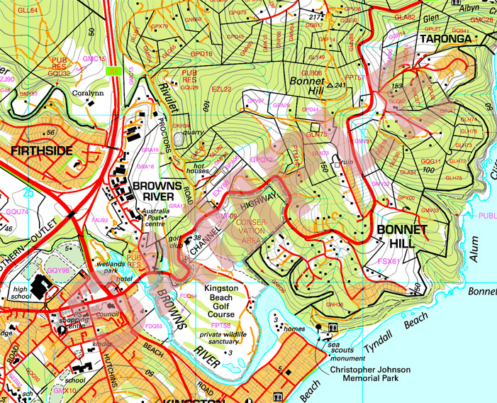
A cadastral map, is a comprehensive view of the metes-and-bounds system used on an area of land. A cadastral map shows details of the ownership, the tenure, the precise location, dimensions and the value of individual parcels of land. Most countries use cadastral maps for administrative and legal purposes to define as best as possible the dimensions and location of land parcels which are very useful to settle law suits and land disputes between neighboring land owners. The image above is that of a cadastral map in Australia that depicts parcels of land available for sale sectioned off into what I believe to be in polygonal sections that are measured in acres of land.
No comments:
Post a Comment