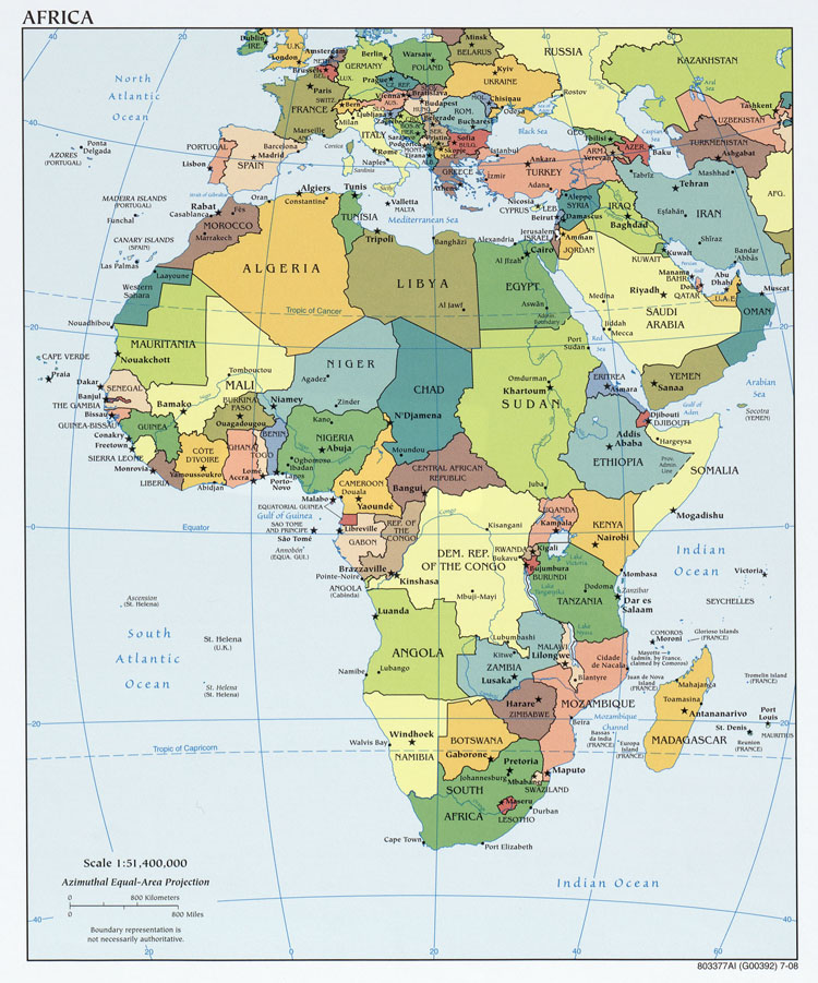
A nominal area choropleth map describes the mapped area's non-categorical qualitative data. A nominal area choropleth map shows the accurate area of the area shown as well as the name of the area as well as any nearby bodies of water as well as latitude and longitudinal lines on the map. A nominal area choropleth map is a descriptive map that shows the agreed upon governmental boundaries on a country and its states. Nominal area choropleth maps do not show statistics, just the qualitative data of the area simplified so it can be shown easily as a reference. The image shown above is a nominal area choropleth map of Africa that gives a qualitative view of Africa without any quantitative data to cover the mapped area.
No comments:
Post a Comment